Smoke Hi-Res (surface)
Use this map to track smoke for the next 2 days near the ground where it can impact breathing. Updated every hour and available for the continental United States.
View → Smoke Hi-Res (surface)
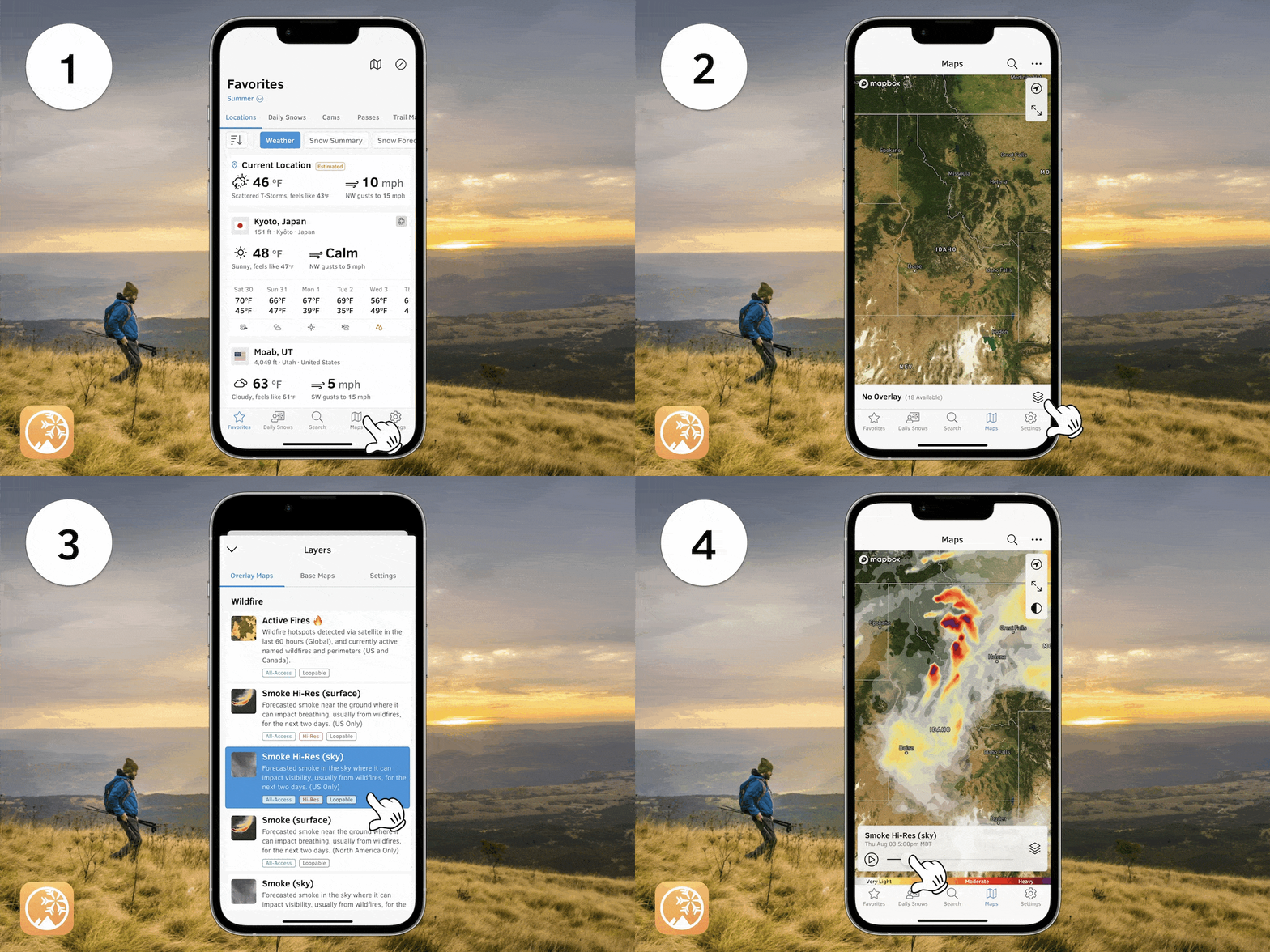
Smoke Hi-Res (sky)
Use this map to track smoke for the next 2 days in the sky where it can impact visibility. Updated every hour and available for the continental United States.
View → Smoke Hi-Res (sky)
Smoke (surface)
Use this map to track smoke for the next 2 days near the ground where it can impact breathing. Updated every hour and available across all of North America.
View → Smoke (surface)
Smoke (sky)
Use this map to track smoke for the next 2 days in the sky where it can impact visibility. Updated every hour and available across all of North America.
View → Smoke (sky)

