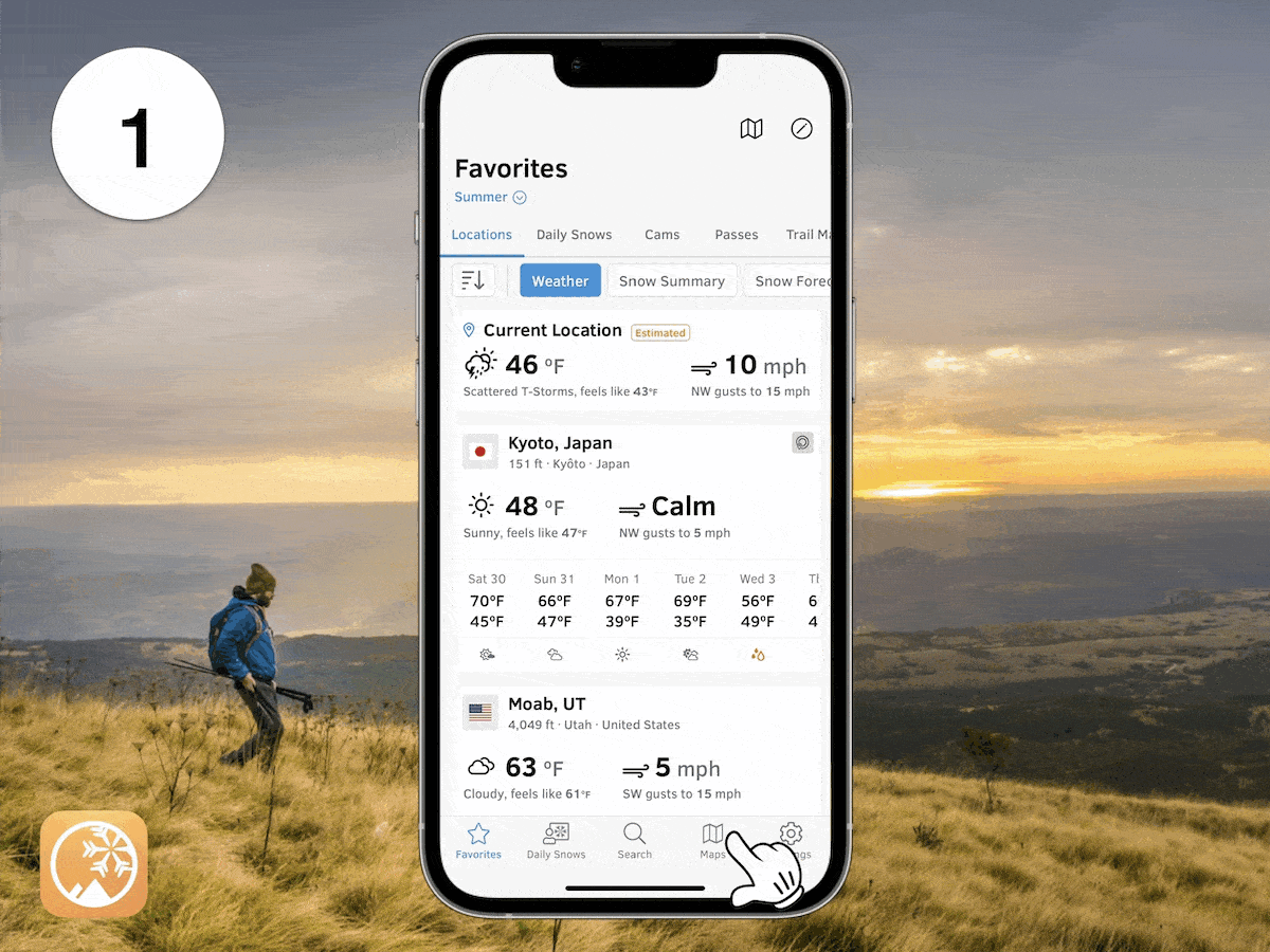
Track incoming wildfire smoke, see real-time air quality, and view active fires on OpenSnow.
These high-resolution maps on OpenSnow highlight the exact location of active fires and forecast their downstream smoke impacts for the next 2 days.
- Tap the "Maps" tab.
- Tap the overlay button.
- Tap any "Air Quality" or "Wildfire" map.
- Scrub the bottom slider.
Air Quality Real-Time
Use this map to view the current PM 2.5 air quality index from PurpleAir sensors. Shown as the 10-minute average for the past 24 hours and available worldwide.
View → Air Quality Real-Time
Air Quality Forecast
Use this map to view the likely location of smoke and other pollutants for the next 5 days. Updated 4 times per day and available worldwide.
View → Air Quality Forecast
Smoke Hi-Res (surface)
Use this map to track smoke for the next 2 days near the ground where it can impact breathing. Updated every hour and available for the continental United States.
View → Smoke Hi-Res (surface)
Smoke Hi-Res (sky)
Use this map to track smoke for the next 2 days in the sky where it can impact visibility. Updated every hour and available for the continental United States.
View → Smoke Hi-Res (sky)
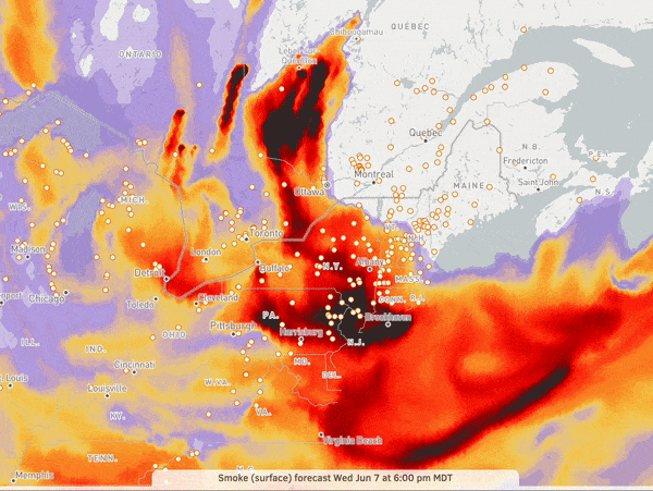
Smoke (surface)
Use this map to track smoke for the next 2 days near the ground where it can impact breathing. Updated every hour and available across all of North America.
View → Smoke (surface)
Smoke (sky)
Use this map to track smoke for the next 2 days in the sky where it can impact visibility. Updated every hour and available across all of North America.
View → Smoke (sky)
Active Fires
Use this map to track named fire incidents in the US & Canada, fire perimeters in the US & Canada, and satellite-detected hotspots, globally.
View → Active Fires
Here's an example of wildfire smoke moving into New York on June 7, 2023.